


Beyond Google Maps: Charting New Territory
Google Maps is everywhere. But is it always the right choice? The digital mapping world has exploded in 2025, offering a diverse range of alternatives. Whether you’re a tech enthusiast exploring open-source options, a business professional needing reliable location data, or a remote worker in a new city, the right map matters. It's no longer just about getting from point A to point B. It's about using location data in powerful new ways.
Choosing the right alternative to Google Maps depends on your needs. Do you need offline access in remote areas? Is data privacy a top priority? Are you after hyperlocal, real-time traffic information, or specialized tools for outdoor adventures? A good mapping tool in 2025 needs to be more than accurate. It should integrate smoothly with other platforms, have a user-friendly design, and provide valuable features tailored to your use. Pricing and technical aspects like API access are also important, especially for developers and businesses.
Exploring the Alternatives
This article dives into ten excellent Google Maps alternatives. We’ll explore their strengths, weaknesses, and ideal users. We’ll cover everything from community-based projects to enterprise-level location platforms, helping you navigate the world on your own terms.
Finding Your Perfect Map
Get ready to find the ideal mapping solution for your 2025 needs. We'll examine key features like:
- Offline Functionality: For use in areas with limited or no internet connection.
- Data Privacy: Control over how your location data is collected and used.
- Real-Time Traffic: Up-to-the-minute traffic information for avoiding delays.
- Specialized Features: Tools for specific activities like hiking, cycling, or event discovery.
- Integration with Other Platforms: Seamless connection with your existing workflows.
- User-Friendly Interface: Easy navigation and intuitive controls.
From navigating remote areas to exploring new cities, there's a perfect map out there waiting to be discovered.
1. OpenStreetMap
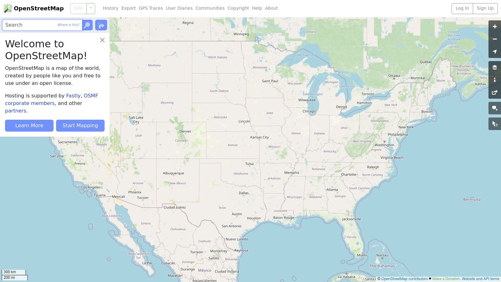
OpenStreetMap (OSM) stands out as the leading free and open-source alternative to Google Maps. Unlike proprietary map services, OSM's data is cultivated and maintained by a global community of volunteers. This ensures the platform remains independent and accessible to everyone. This collaborative approach results in incredibly detailed maps, especially in urban areas and places frequently updated.
OSM offers a wealth of possibilities for tech enthusiasts, business professionals, and digital marketers. Developers can use the completely customizable and open data to build unique mapping applications. They can integrate location services into their projects, or analyze geographic data without restrictive API limits or expensive fees. Consider creating a hyperlocal delivery app tailored to your needs or integrating detailed cycling routes into a fitness tracker—the potential is vast. Business professionals can use OSM for logistical planning, optimizing delivery routes, or analyzing market demographics with location-based data.
Remote workers can benefit from OSM's offline availability through various apps. This provides reliable navigation even in areas with spotty internet connectivity. While Google Maps does offer offline functionality, OSM shines through its flexibility and customization options for offline use. For more resources on mapping and other useful tools, you might be interested in: Our complete sitemap.
OSM also offers several specialized layers, such as cycling routes, public transport information, and even humanitarian views crucial for disaster relief. This level of detail sets it apart from many commercial map providers.
Features
- Community-driven map data creation and editing
- Open source and free to use under the Open Database License
- Multiple layer options including cycling, transport, and humanitarian views
- Complete customization for developers
- Available offline through various applications
Pros
- Completely free with no usage limitations
- Privacy-focused with no tracking
- Highly detailed in many regions, especially urban areas
- Continuously improved by a global community
Cons
- Less polished user interface compared to commercial offerings
- Navigation features are more basic
- Less comprehensive coverage in some remote areas
- Relies on community contributions for accuracy
Website and Pricing
Website: https://www.openstreetmap.org/
Pricing: Free
Technical Requirements
None for basic use. Developers will need programming knowledge to utilize the API and data.
While OSM might not have the sleekest interface or the most advanced navigation like Google Maps, its open nature, free access, detailed data, and community-driven approach make it invaluable. It's a powerful tool for a range of users, from everyday navigation to complex development projects.
2. Here WeGo

Here WeGo (formerly Nokia Maps), developed by Here Technologies, is a strong and privacy-focused alternative to Google Maps. Its offline navigation and public transit information are particularly impressive, making it a useful resource for international travelers and daily commuters alike.
Here WeGo provides detailed maps for over 200 countries, turn-by-turn navigation for driving and walking, and public transit routing in over 2,500 cities. A key feature is its ability to download comprehensive offline maps. This allows users to navigate without an internet connection, a significant benefit for those traveling internationally or in areas with unreliable service. This offline capability is much more extensive than what's currently offered by Google Maps.
For professionals in transportation or location-based services, Here WeGo’s detailed transit data and offline capabilities offer a powerful tool for planning and analysis. Remote workers can also benefit from the reliable navigation and transit information, particularly when working from different locations or exploring new areas. Even those looking for local entertainment can use Here WeGo to find venues and events, and navigate to them with ease.
Key Features & Benefits
Here are some of the key features and benefits that Here WeGo offers:
- Turn-by-turn navigation: Provides clear voice guidance for both driving and walking routes.
- Public transit routing: Offers extensive coverage in thousands of cities globally, with real-time updates and multiple route options.
- Offline maps: Download maps for entire countries, ensuring continuous navigation even without internet access.
- Real-time traffic information: Helps users avoid delays and plan the best routes based on current traffic conditions.
- Car-sharing integration: Connects with car-sharing services for added convenience.
Pros
Here WeGo offers several advantages:
- Excellent offline functionality: A crucial benefit for international travelers and areas with limited or no connectivity.
- Reliable public transportation data: Provides detailed and precise transit information for a smoother commute.
- Less aggressive data collection than Google: A significant advantage for privacy-conscious users.
- Good integration with car navigation systems: Offers a consistent navigation experience for drivers.
Cons
While Here WeGo offers a lot, there are also some areas where it could improve:
- Less detailed points of interest (POIs) than Google Maps: While its POI database is growing, it may not be as extensive as Google Maps.
- User interface can be less intuitive: Some users may find navigating the interface slightly less user-friendly compared to Google Maps.
- Limited community-contributed content: There is less user-generated content such as reviews and photos, compared to the wealth of information available on Google Maps.
- Customer support can be slow to respond: Resolving issues might take longer compared to Google's more responsive customer support.
Website and Pricing
- Website: https://wego.here.com/
- Pricing: Here WeGo offers a free version with its core features. Premium features or services might be available for business users through Here Technologies, but these aren’t part of the standard consumer app.
Technical Requirements
Here WeGo is available as a mobile app for Android and iOS devices. A web-based version is also available, accessible through any browser. Downloading offline maps requires storage space on your device, with the amount required depending on the size of the downloaded region.
3. Waze
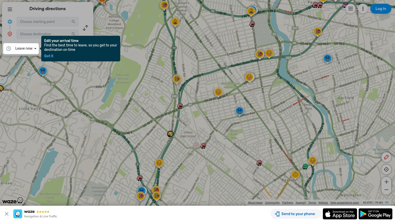
Waze is the king of real-time traffic navigation. Unlike other GPS apps that rely primarily on algorithms, Waze uses its large community of users to provide up-to-the-minute road conditions. This makes it incredibly helpful for anyone looking to avoid traffic jams.
This crowdsourced approach allows for immediate alerts about accidents, speed traps, road closures, and even hazards like potholes or stalled vehicles. This creates a dynamic navigation experience that adapts to the constantly changing conditions of the road.
Waze, owned by Google, goes beyond simple navigation from point A to point B. It's a social navigation experience, a constantly evolving, driver-generated traffic report overlaid on a map. This real-time information is where Waze truly excels, often outperforming even Google Maps when it comes to avoiding delays.
Features
Waze offers several key features that contribute to its popularity:
-
Real-Time Traffic Updates Based on User Reports: Live updates from other drivers provide valuable insight into traffic flow, allowing you to make informed decisions and avoid congestion.
-
Community Alerts: Receive alerts about accidents, police presence, hazards, and road closures, allowing you to adjust your route proactively.
-
Automatic Rerouting: Waze dynamically adjusts your route based on current traffic conditions, ensuring you’re always on the fastest path to your destination.
-
App Integration: Seamlessly integrate with music apps and calendars to streamline your commute or road trip.
-
Carpool Coordination: Waze Carpool facilitates ride-sharing, offering a cost-effective and environmentally friendly transportation option.
Pros
-
Superior Real-Time Traffic Information: Waze is unmatched in its ability to provide hyperlocal, real-time traffic data.
-
Active Community Reporting: A network of active users keeps you informed about potential hazards and speed traps.
-
Regular Updates: Waze is constantly evolving with new features and improvements.
Cons
-
Resource Intensive: The constant communication with Waze servers can drain your battery and consume mobile data.
-
Route Choices: While often effective, Waze sometimes routes through residential areas to save time, which can be frustrating for some drivers.
-
Limited Non-Driving Features: Waze is primarily designed for drivers and lacks the comprehensive map detail of Google Maps for walking, cycling, or public transport.
-
Potential for Distraction: The constant stream of alerts, while informative, can be overwhelming for some drivers.
Getting Started With Waze
Website: https://www.waze.com/
Pricing and Technical Requirements: Waze is free to download and use and is available for both Android and iOS devices.
Implementation/Setup Tips: Download the app, create an account, and enter your destination. Allow Waze to access your location for optimal performance. You can also customize alert preferences and integrate with other apps.
Waze vs. Google Maps
While Google Maps offers a broader range of map data and features, Waze is the clear winner for real-time traffic navigation. Consider using Waze for your daily commute or long drives where avoiding traffic is paramount, and Google Maps for exploring new areas or navigating on foot or by public transport. Waze is a valuable tool for anyone who values time efficiency.
4. Bing Maps
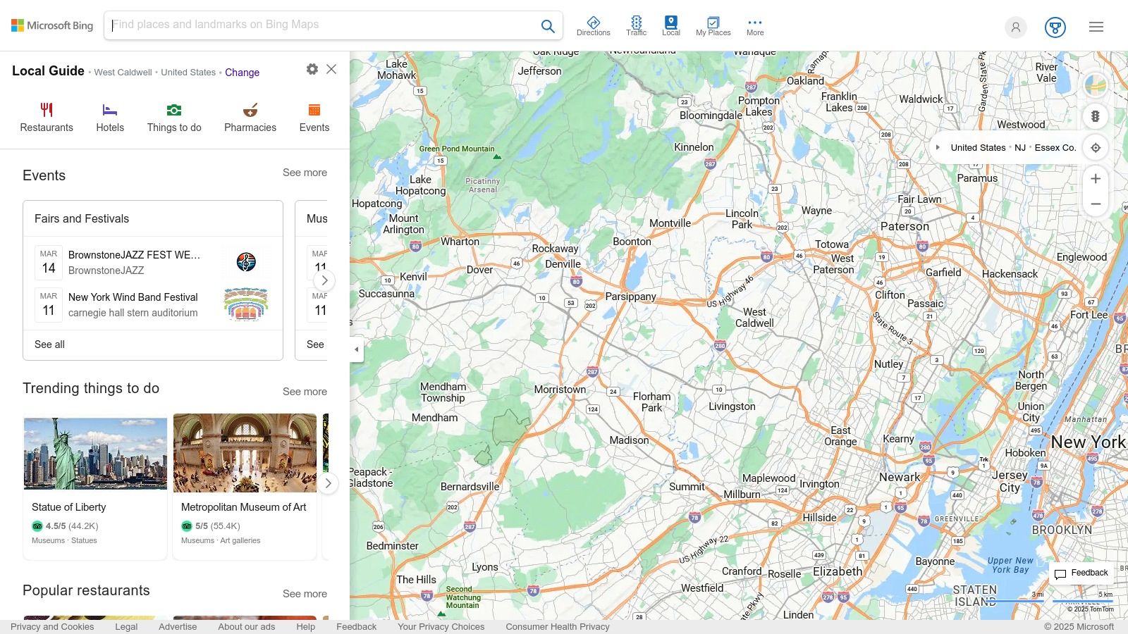
Developed by Microsoft, Bing Maps provides a robust alternative to Google Maps. It offers a compelling set of features suitable for both personal and business use. From high-resolution aerial imagery to detailed street maps and 3D city views, Bing Maps delivers a comprehensive mapping experience. Its integration with the Microsoft ecosystem makes it particularly appealing for users already working within that platform.
The powerful Bing Maps API offers significant potential for tech enthusiasts and business professionals. Developers can integrate mapping functionalities into their own applications, websites, and services. This is especially helpful for businesses that need location-based services, asset tracking, or custom map integration.
Digital marketers can use the API for various purposes. These include creating store locators, visualizing market data geographically, and planning optimized delivery routes. Remote workers will appreciate the traffic information and route planning features, streamlining commutes and business trips.
Key Features and Benefits
-
Bird's Eye View: Explore areas with stunning high-resolution aerial imagery, often exceeding the quality offered by competitors. This feature is particularly valuable for real estate professionals, urban planners, and anyone looking for a unique perspective.
-
Streetside View: Much like Google Street View, Bing Maps' Streetside provides a ground-level view of streets. This allows you to virtually explore locations, making navigating unfamiliar areas or scouting potential venues easier.
-
Traffic Information and Route Planning: Real-time traffic updates and optimized route planning help you avoid congestion and reduce travel time. This is a crucial feature for commuters, delivery drivers, and road trip planners.
-
3D Maps: Experience select cities in immersive 3D, offering a more engaging and intuitive way to visualize and navigate complex urban environments.
-
Extensive API for Business and Enterprise Use: The robust API allows for seamless integration of Bing Maps data and functionality into business workflows, enabling a wide range of customized applications.
Pros and Cons of Bing Maps
Here’s a quick overview of the advantages and disadvantages of using Bing Maps:
| Feature | Pros | Cons |
|---|---|---|
| Imagery | Excellent aerial and satellite imagery quality | Fewer detailed points of interest than Google Maps |
| Integration | Strong integration with the Microsoft ecosystem | Limited global coverage for features like Streetside view |
| API | Comprehensive API for developers | Navigation experience not as refined as some competitors |
| Mobile Apps | – | Mobile apps not as feature-rich as competitors |
| Data Collection | Less aggressive data collection practices than Google Maps | – |
Website: https://www.bing.com/maps
Pricing: Basic use of Bing Maps is free. However, using the API incurs costs based on the volume and type of requests. Pricing details are available on the Microsoft website.
Bing Maps stands as a powerful alternative to Google Maps. Its superior aerial imagery, robust API, and integration with the Microsoft ecosystem are key advantages. While it might have some drawbacks regarding points of interest and mobile app features, its strengths make it a worthwhile option for users seeking a different mapping experience. This is particularly true for those already using the Microsoft ecosystem or needing advanced API functionality.
5. Mapbox: Location Infrastructure for Your App
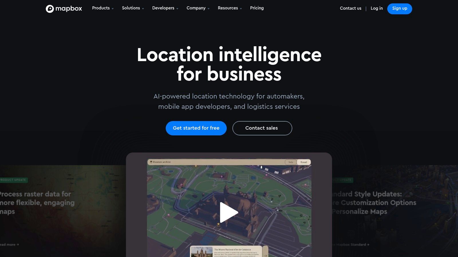
Mapbox isn't a simple Google Maps substitute. It’s not a consumer map app, but rather a robust platform for developers to create custom location experiences. Think of it as the underlying engine, offering the tools and infrastructure needed to integrate maps, search functions, navigation, and even augmented reality into your own web and mobile apps. This makes it a unique option for tech professionals and businesses seeking detailed control over their location services.
Mapbox’s flexibility and performance are trusted by companies like Facebook, Snapchat, and The Weather Channel. Consider the need to visualize real-time data, such as weather patterns or traffic conditions, layered onto a map. Mapbox shines in these situations, providing the means to personalize the map’s style, integrate dynamic data, and ensure a smooth user experience.
Key Features and Benefits
-
Fully Customizable Design: Go beyond the standard map aesthetic. Mapbox lets you customize the map's appearance, from colors and fonts to the level of detail shown, allowing for branding opportunities and unique user interfaces.
-
Real-time Data Visualization: Integrate live data streams to create interactive maps displaying up-to-the-minute information. This is critical for applications such as asset tracking, logistics, and live event mapping.
-
Comprehensive SDKs: Robust Software Development Kits (SDKs) for web and mobile platforms simplify the integration process for developers.
-
Navigation and Directions API: Incorporate turn-by-turn navigation directly into your app using Mapbox’s routing engine, providing an alternative to traditional navigation systems.
-
Augmented Reality Mapping: Explore advanced AR features by overlaying digital content onto the real-world environment through a device's camera, creating immersive location-based experiences.
Pros
-
Unparalleled Customization: Mapbox provides a remarkable degree of control over the map’s appearance and functionality.
-
Superior Web Performance: Built for web applications, Mapbox frequently delivers faster load times and smoother interactions than other mapping solutions.
-
Excellent Developer Documentation: Thorough and well-maintained documentation simplifies the development process.
-
Flexible Pricing: A pay-as-you-go structure scales with usage, making it appropriate for projects of any size.
Cons
-
Not for Direct Consumer Use: Mapbox requires technical expertise and integration into an application; it's not a standalone map for consumers.
-
Potential Cost at Scale: While the flexible pricing is beneficial, high usage can result in significant costs.
-
Steeper Learning Curve: Using Mapbox effectively requires development skills and familiarity with its APIs.
-
Developer-Centric: Its primary focus is developers, not end-users, which can be a challenge for those without technical backgrounds.
Implementation Tips
-
Start with the documentation: Familiarize yourself with the Mapbox API and relevant SDKs for your selected platform.
-
Explore Mapbox Studio: This browser-based design platform lets you create custom map styles and test features before integrating them.
-
Consider your usage needs: Assess your projected usage to estimate costs and select the most appropriate pricing tier.
Website: https://www.mapbox.com/
Mapbox’s unique offering sets it apart. While not a direct consumer alternative to Google Maps, it empowers developers to craft unique, personalized location experiences within their own applications. If you’re a tech professional, business owner, or digital marketer seeking to integrate location services in a novel and effective way, Mapbox is worth exploring.
6. Apple Maps
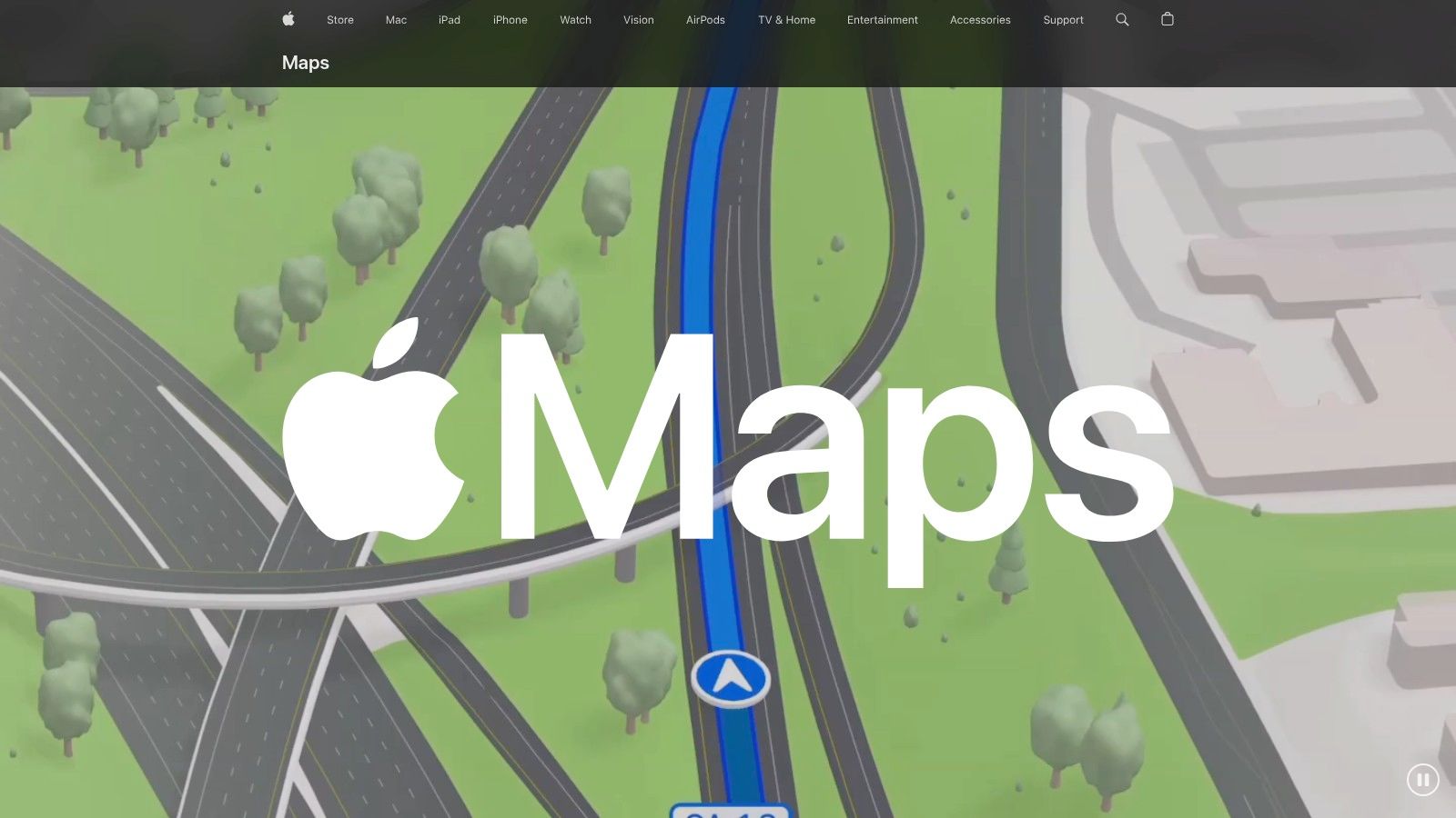
Apple Maps is Apple's own mapping service, available across its family of devices: iOS, iPadOS, macOS, and watchOS. While initially facing criticism after its 2012 launch, Apple Maps has significantly improved. It's now a strong competitor to Google Maps, especially for those already using Apple products. It provides detailed maps, turn-by-turn navigation with voice guidance, public transit information, and even a street-level view called Look Around. A core focus for Apple Maps is user privacy.
For daily navigation, Apple Maps shines in providing clear and simple directions for driving, walking, and cycling. Integration with Siri allows for hands-free use, improving safety and convenience on the go. Features like real-time traffic updates and lane guidance make navigation even smoother. Business professionals can use Apple Maps to find businesses, see their hours, and even make reservations directly through the app. Navigating large indoor locations, like airports or shopping malls, is easier with the detailed indoor maps provided, saving time and reducing confusion.
Apple Maps goes beyond basic navigation with features like Flyover mode, offering impressive 3D views of major cities. Look Around provides a virtual street exploration experience, similar to Google Street View. While Look Around's coverage isn't as widespread as Google's, it is continually growing. For more resources on maps and navigation, check out Our Sitemap.
Key Features and Benefits
Here's a breakdown of what Apple Maps offers:
- Look Around: Explore streets at street level.
- Indoor Maps: Navigate airports and shopping centers with ease.
- Flyover Mode: See stunning 3D cityscapes.
- Privacy Focus: Minimal data collection for enhanced privacy.
- Apple Integration: Works seamlessly with Siri and other Apple devices.
- Turn-by-Turn Navigation: Includes real-time traffic and lane guidance.
- Public Transit: Get directions for public transportation.
Pros and Cons of Using Apple Maps
| Pros | Cons |
|---|---|
| Strong privacy protections | Available only on Apple devices |
| Visually appealing design and animations | Less global coverage than Google Maps |
| Seamless Apple ecosystem integration | Smaller database of points of interest in some areas |
| Increasingly accurate data | Navigation can sometimes be less reliable |
| Free to use |
Website: https://maps.apple.com/
Apple Maps earns its spot on this list due to its strong commitment to privacy, seamless integration with Apple devices, and constantly evolving features. While it may not be the best fit for everyone, especially those who don't use Apple products or need extensive global coverage, its sleek interface, privacy focus, and convenient tools make it a great choice for Apple users looking for a reliable and easy-to-use mapping experience.
7. TomTom
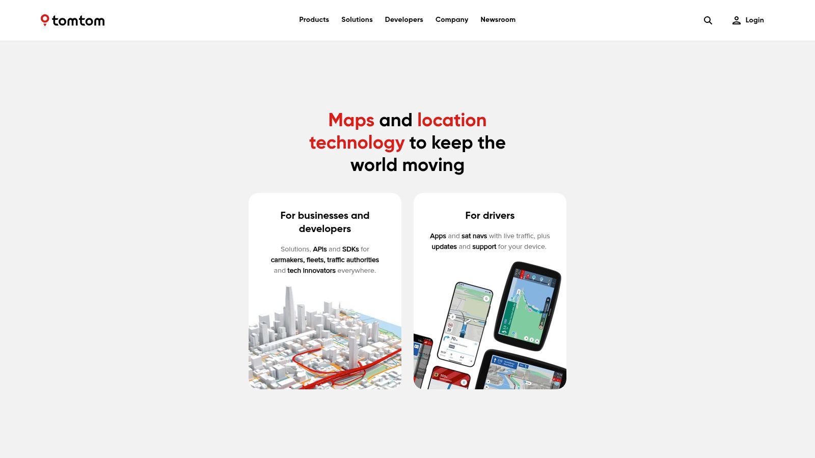
TomTom, a Dutch multinational company, may not be top-of-mind for everyday navigation. However, its robust location technology makes it a significant player in the mapping world. It's a worthy Google Maps alternative, especially for specific uses. While known for its dedicated GPS devices, TomTom now offers a wider range of services.
These services include mapping, navigation software, real-time traffic information, and even HD maps for autonomous vehicles. This deep expertise positions TomTom as a reliable choice for professionals and businesses needing high-quality location data.
TomTom's strength lies in its highly accurate maps and superior traffic prediction algorithms. These algorithms use historical and real-time data. They provide precise ETAs and route optimization. This makes it invaluable for logistics, fleet management, and delivery services. TomTom's detailed European map coverage makes it especially attractive for businesses operating in that region.
Beyond Consumer Navigation
Beyond consumer navigation, TomTom provides robust APIs and SDKs for developers. Developers can integrate location services into their applications using these tools. They offer features like historical traffic pattern analysis and specialized fleet management services. This helps businesses optimize operations and improve efficiency. Automotive manufacturers also use TomTom's map data for their in-car navigation systems.
Features:
- High-quality traffic data and routing algorithms
- HD maps for autonomous driving
- Enterprise-grade mapping APIs and SDKs
- Historical traffic patterns analysis
- Specialized services for fleet management
Pros:
- Superior traffic prediction algorithms
- Excellent maps for automotive use, particularly strong in Europe
- Respected for accuracy and reliability
Cons:
- Consumer mobile apps are less intuitive and feature-rich than Google Maps or Waze.
- API services can be pricey for some developers.
- Less reliance on community-generated content than Waze, potentially limiting real-time incident reporting.
Additional Information
Website: https://www.tomtom.com/en_gb/
Pricing: TomTom has various pricing tiers based on usage and features needed for their API and SDK services. See their website for detailed pricing.
Implementation/Setup Tips: Integrating TomTom's APIs and SDKs requires technical expertise. TomTom offers comprehensive documentation and support resources.
Comparing TomTom to Other Tools
Google Maps and Waze dominate consumer navigation. They have user-friendly interfaces and community-driven features. TomTom excels in providing accurate and reliable mapping data. This is especially true for businesses and automotive applications. For enterprise use requiring precise traffic information and strong mapping tools, TomTom stands out. Consider it the professional's choice, prioritizing data accuracy over social features.
TomTom earns its spot on this list by catering to a specific niche. It serves businesses and individuals needing reliable location data. This is particularly relevant in the automotive and logistics sectors. Its advanced traffic prediction algorithms and enterprise-grade mapping tools make it a powerful competitor for professional applications. Its consumer apps might not be as widely used.
8. MapQuest
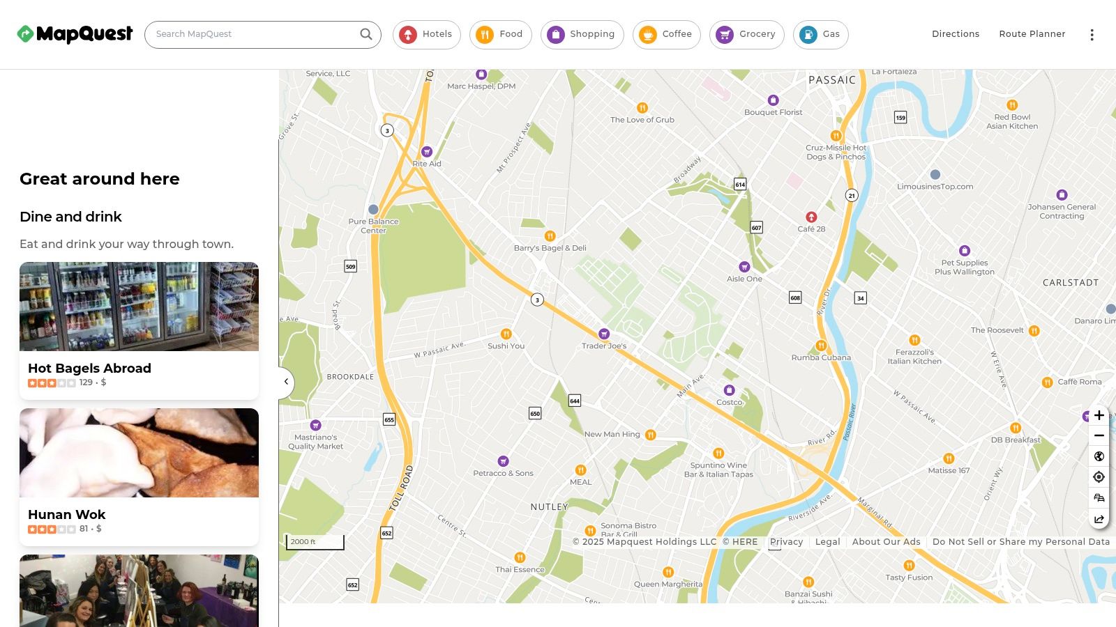
MapQuest is a true veteran in the digital mapping space. Founded in 1992, it offers a reliable and easy-to-use alternative to Google Maps. Now under the ownership of Verizon Media, MapQuest continues to deliver free online maps, directions, and route planning for both individuals and businesses. While it might not have the same market share as Google Maps, its longevity speaks volumes about its enduring value and dedicated users.
MapQuest’s focus on simplicity and privacy makes it a strong contender for anyone looking for a navigation solution that respects their data.
Why MapQuest deserves a spot on this list:
In a world increasingly focused on data privacy, MapQuest distinguishes itself by collecting considerably less user data than some competitors. This, along with its user-friendly interface and long-standing reputation for dependable mapping, makes it a solid choice. It’s a practical tool for everyday navigation, especially for those looking for an alternative to the vast Google Maps ecosystem.
Features and Benefits:
-
Turn-by-turn voice navigation: Provides clear, audible directions for safe and convenient hands-free navigation.
-
Multiple route options with comparative times: Allows users to select the quickest or most suitable route based on current traffic.
-
Real-time traffic updates: Enables drivers to avoid traffic jams and anticipate potential delays.
-
Points of interest (POI) search along routes: Makes it easy to locate gas stations, restaurants, and other necessary services along your chosen route.
-
Map customization for businesses: Offers businesses the option to personalize map features for their particular requirements. This includes custom markers, branded maps, and integration with current business systems.
Pros:
-
Simple, straightforward interface: Easy to understand and use, even for those new to digital mapping tools.
-
Long-standing reputation for reliability: Decades of experience provide a generally consistent and trustworthy service.
-
Less tracking of user data than some competitors: This is a key benefit for privacy-conscious users.
-
Good integration with local business information: Offers accurate and up-to-date information about businesses near your route.
Cons:
-
Less accurate in some regions compared to Google Maps: Mapping data might not be as complete or current in certain areas.
-
Mobile apps not as feature-rich: The mobile app experience is more limited compared to Google Maps.
-
Fewer updates than major competitors: This can result in a less refined user experience and possibly a slower adoption of new technologies.
-
Navigation sometimes suggests less optimal routes: Although typically reliable, suggested routes aren’t always the most efficient.
Pricing and Technical Requirements:
MapQuest’s core functions are free to use. Businesses seeking enhanced customization or integration options may need to explore their business solutions, which may require a subscription. The website and apps are accessible through standard web browsers and mobile devices.
Comparison with Similar Tools:
Compared to Google Maps, MapQuest provides a simpler, more privacy-focused experience. While it may lack some of the advanced features and integrations of Google Maps, MapQuest offers a reliable basic mapping service without extensive data collection. It's a suitable choice for users who value privacy and simplicity.
Implementation/Setup Tips:
Using MapQuest is easy. Visit the website (https://www.mapquest.com/) or download the mobile app. Enter your starting point and destination to generate directions and route options. You can customize route preferences and map display options within the settings. Businesses can contact MapQuest directly to learn about customized solutions and integration possibilities.
9. OsmAnd
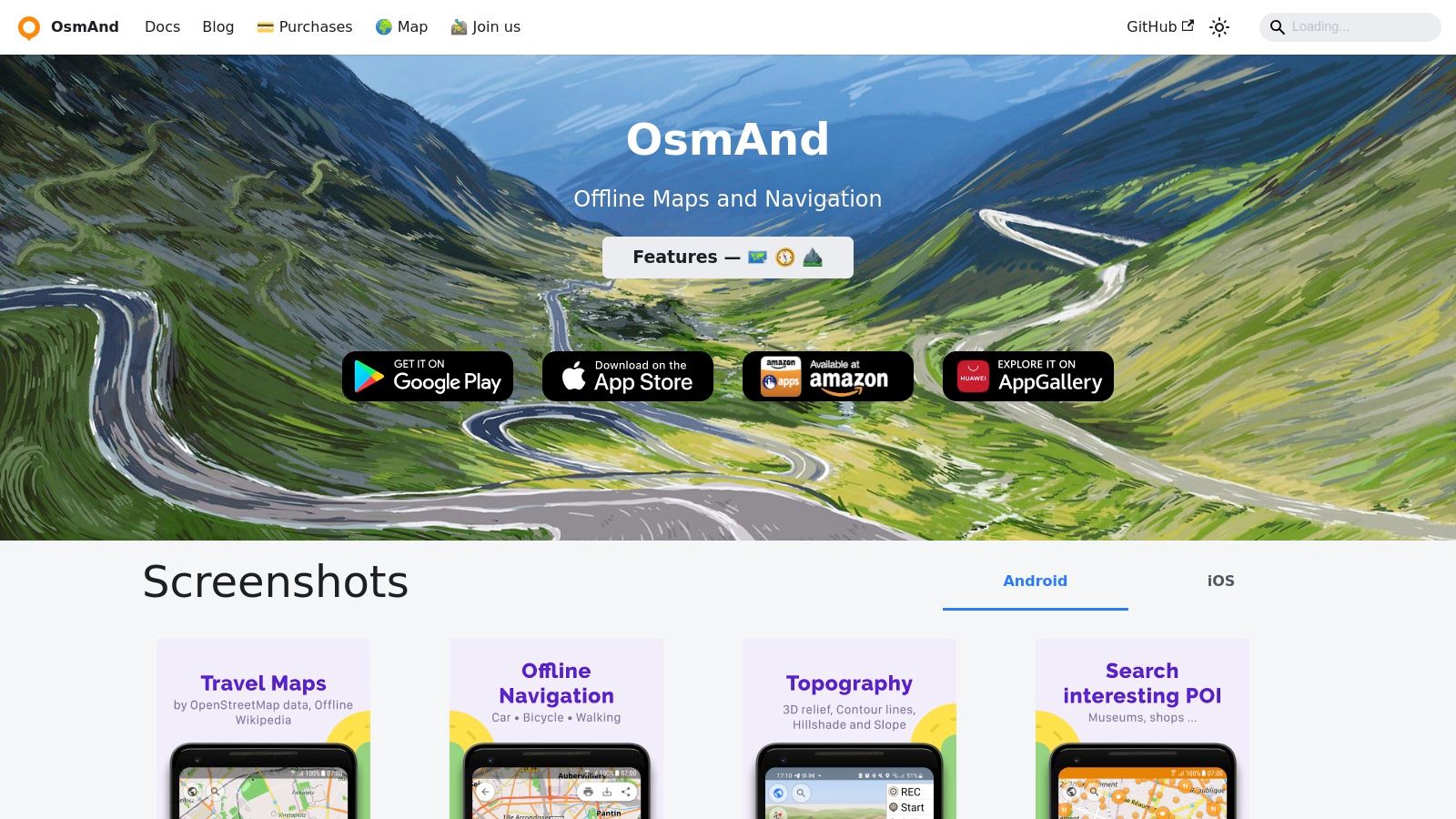
OsmAnd (OpenStreetMap Automated Navigation Directions) stands out as a leading offline navigation solution. While other map apps may offer offline modes, OsmAnd is built for it. This dedication to offline functionality, coupled with its reliance on OpenStreetMap data, makes it invaluable for users prioritizing privacy, customization, and reliable navigation without internet access.
Imagine hiking through remote wilderness or exploring a new city with unreliable cell service. Where other map apps might fail, OsmAnd, with its pre-downloaded maps, keeps you confidently on course. This makes it a perfect tool for remote workers in areas with limited connectivity, digital nomads venturing off the grid, and anyone conscious of data usage while traveling.
OsmAnd offers more than just offline maps; it provides a complete navigation experience. It delivers features such as turn-by-turn directions, estimated times of arrival, and alternative routes. The detailed maps, tailored for activities like hiking, cycling, and even water navigation, offer specialized information, such as trail difficulty and surface type, often lacking in mainstream alternatives. The ability to record and follow GPX tracks is essential for outdoor enthusiasts and professionals who need to document or follow specific paths.
For the tech-savvy, OsmAnd's open-source nature and highly customizable interface are appealing. Users can adjust everything from map display to navigation voice prompts. This level of customization allows business professionals to rely on offline navigation for fieldwork and provides digital marketers with detailed map data for location-based campaigns.
While the free version provides a comprehensive set of features, a paid version unlocks additional functionalities. These include unlimited map downloads, Wikipedia points of interest (POIs), and hillshading. The app is available for both Android and iOS devices.
Features
- Fully functional offline maps and navigation
- Detailed maps for hiking, cycling, and water activities
- GPX track recording and navigation
- Highly customizable display and features
- Regular updates from OpenStreetMap data
Pros
- Works completely offline with downloadable maps
- Excellent privacy with no tracking or account required
- Specialized features for outdoor activities
- Open source with active development
Cons
- Steeper learning curve due to complex interface
- Less intuitive than Google Maps for casual users
- Points of interest (POI) data can be less comprehensive than commercial alternatives
- Some advanced features require the paid version
Implementation Tip
Before venturing offline, download the necessary maps within OsmAnd. This ensures seamless navigation without requiring an internet connection. Take some time to familiarize yourself with the settings and customization options to personalize the app for your individual requirements.
Website: https://osmand.net/
10. Organic Maps
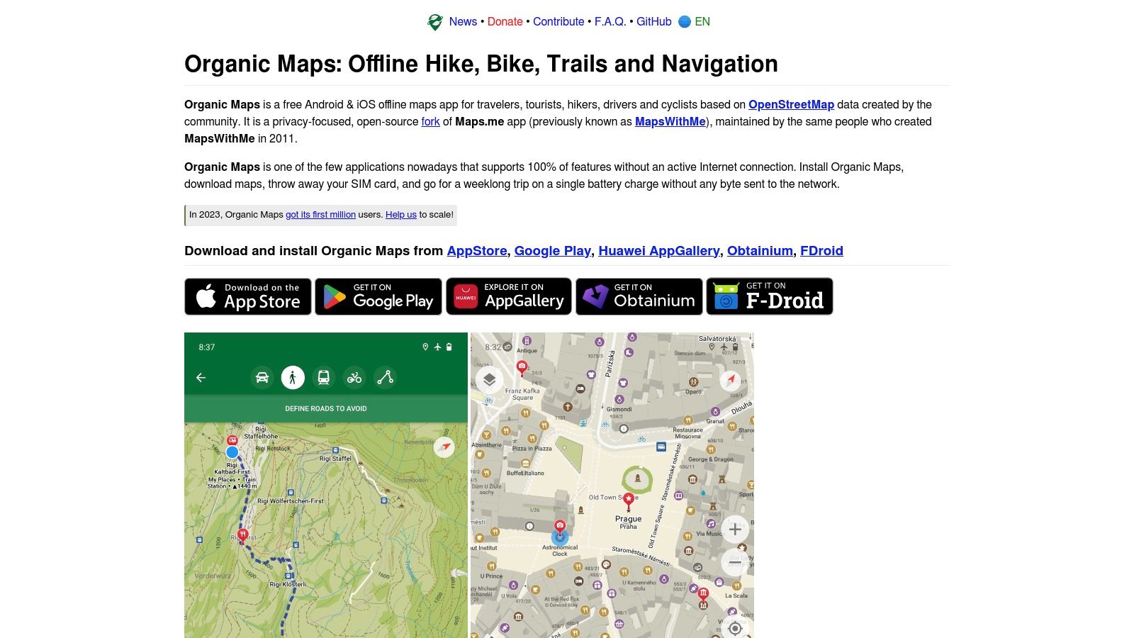
For travelers concerned about privacy, digital marketers working offline, or anyone seeking an open-source mapping solution, Organic Maps offers a compelling alternative to Google Maps. Born from the popular Maps.me project after its shift toward advertising and data collection, Organic Maps prioritizes privacy and offline functionality. This free and open-source app, based on OpenStreetMap data, provides a robust navigation experience without cost to the user.
Imagine navigating a foreign city or hiking a remote trail without internet access. Organic Maps excels in these situations. Download the map of your desired area beforehand, and you're ready to explore. The app offers turn-by-turn directions for driving, cycling, and walking, all entirely offline. This is particularly beneficial for international travelers looking to avoid roaming charges. Detailed hiking and cycling routes also make it a valuable tool for outdoor enthusiasts. You can even bookmark your favorite spots for easy access later.
Beyond its offline capabilities, Organic Maps stands out with its strong commitment to privacy. The app collects absolutely no user data, displays no ads, and offers no in-app purchases. This commitment to a free and private experience is a significant advantage for users concerned about data security and online tracking. For other privacy-focused tools, check out this sitemap.
While Organic Maps excels in privacy and offline use, there are a few trade-offs. The interface, though functional, is less polished than commercial map apps. Its smaller user base means fewer reported issues and corrections compared to more popular alternatives. Public transit information is also limited, and search functionality can sometimes be less effective than Google Maps.
Features
- 100% offline functionality with downloadable maps
- Zero tracking, no ads, and no data collection
- Detailed hiking and cycling routes
- Turn-by-turn navigation for driving
- Bookmark system for favorite places
Pros
- Best-in-class privacy protection
- Completely free with no in-app purchases
- Low resource usage compared to other map apps
- Active development with a responsive community
Cons
- Less polished interface than commercial alternatives
- Smaller user base resulting in fewer reported issues and corrections
- Limited public transit information
- Search functionality can be less effective than Google Maps
Website: https://organicmaps.app/
Head-to-Head Comparison of Top 10 Map Alternatives
| Service | Key Features ✨ | Experience ★ | Value Proposition 💰 | Audience 👥 |
|---|---|---|---|---|
| OpenStreetMap | Community-driven, open, customizable layers | Detailed in urban areas, privacy-focused | Completely free & open license | Developers, community mappers |
| Here WeGo | Turn-by-turn, offline maps, transit info | Reliable offline use, solid transit data | Free with robust offline support | Mobile drivers, transit users |
| Waze | Real-time alerts, crowdsourced reports | Engaging, timely updates, gamified navigation | Free with social integration | Daily drivers, social navigators |
| Bing Maps | Aerial views, 3D maps, extensive API | High imagery quality, enterprise-ready | Free for consumers, enterprise plans | Business users, casual mappers |
| Mapbox | Fully customizable maps, developer SDKs | High performance, seamless integration | Usage-based pricing | Developers, enterprises |
| Apple Maps | Look Around, indoor maps, flyover mode | Beautiful design, smooth Apple integration | Free for Apple devices | Apple device users |
| TomTom | HD maps, advanced traffic algorithms | Excellent automotive navigation | Mix of free consumer and paid API | Automotive & enterprise users |
| MapQuest | Voice navigation, multiple routes, POI search | Reliable legacy service with simplicity | Free basics, business options | General consumers, local businesses |
| OsmAnd | Offline maps, GPX recording, customizable view | Excellent offline performance, privacy ensured | Free with optional paid upgrades | Outdoor enthusiasts, travelers |
| Organic Maps | Fully offline, zero tracking, ad-free | Low resource usage, straightforward navigation | Completely free, no in-app purchases | Privacy-focused users, outdoor adventurers |
Finding Your Ideal Route
Choosing the right navigation app depends heavily on your individual needs. Whether you prioritize open-source solutions, need seamless integration with existing systems, track location-based data, rely on offline access, or seek nearby entertainment venues, the ideal map isn't one-size-fits-all.
So, how do you choose the best Google Maps alternative for you in 2025? Here’s a breakdown of key factors to consider:
Privacy, Offline Access, and Real-Time Data
-
Privacy: If data privacy is paramount, explore options like OpenStreetMap, OsmAnd, or Organic Maps. These platforms offer more control over your data.
-
Offline Functionality: For travelers or those in areas with unreliable internet, offline maps are crucial. Here WeGo, OsmAnd, and Maps.me (using OpenStreetMap data) excel in this area.
-
Real-time Data: For up-to-the-minute traffic updates and dynamic routing, Waze, Bing Maps, and Apple Maps are strong contenders.
Specialized Features, Integration, and Budget
-
Specialized Features: Outdoor enthusiasts might prefer Organic Maps or TomTom, which provide detailed topographic information and hiking trails. Developers and businesses looking for customizable solutions should consider Mapbox.
-
Integration and Compatibility: Think about your existing tech ecosystem. Apple Maps integrates tightly with iOS, while Bing Maps might be preferable for Windows users. Consider whether the app offers APIs or SDKs if you need integration with other software.
-
Budget: While many alternatives are free, some like TomTom offer premium features for a subscription fee. Mapbox also operates on a freemium model.
Getting Started and Resource Considerations
Most alternatives are available on major app stores (iOS and Android) or accessible via their respective websites. Downloading and installation is usually straightforward. For open-source options like OpenStreetMap, you might need to explore specific applications built using its data, such as OsmAnd. With platforms like Mapbox, some development knowledge might be required for custom implementations.
Keep in mind that offline maps can consume significant storage space on your device. Real-time features require a constant data connection and may impact battery life.
Key Takeaways
- Diversity: A wide variety of Google Maps alternatives exists to suit diverse needs.
- Privacy-Focused Options: OpenStreetMap and its derivatives prioritize privacy.
- Offline Capabilities: Several apps offer robust offline navigation.
- Specialized Features: From outdoor needs to developer APIs, a map exists for everyone.
Choosing the right navigation app empowers you to enhance your overall experience. By carefully weighing your needs and preferences, you can find the perfect map to guide your journeys.